XPRIZE Wildfire
EOMulti-sensor fusionField work
I helped build and field MyRadar's entry to the XPRIZE Wildfire finals in New South Wales,
Australia — a near-real-time fire detection system that fuses imagery from a diverse constellation
of public satellites across LEO, SSO, and GEO. During the finals I embedded with the
NSW Rural Fire Service in the field, interfacing directly with fire managers and
frontline firefighters to ground-truth which satellite products are actually useful at the
incident-command level; I came away convinced that operational utility is dictated as much by
latency and product framing as by raw detection accuracy.
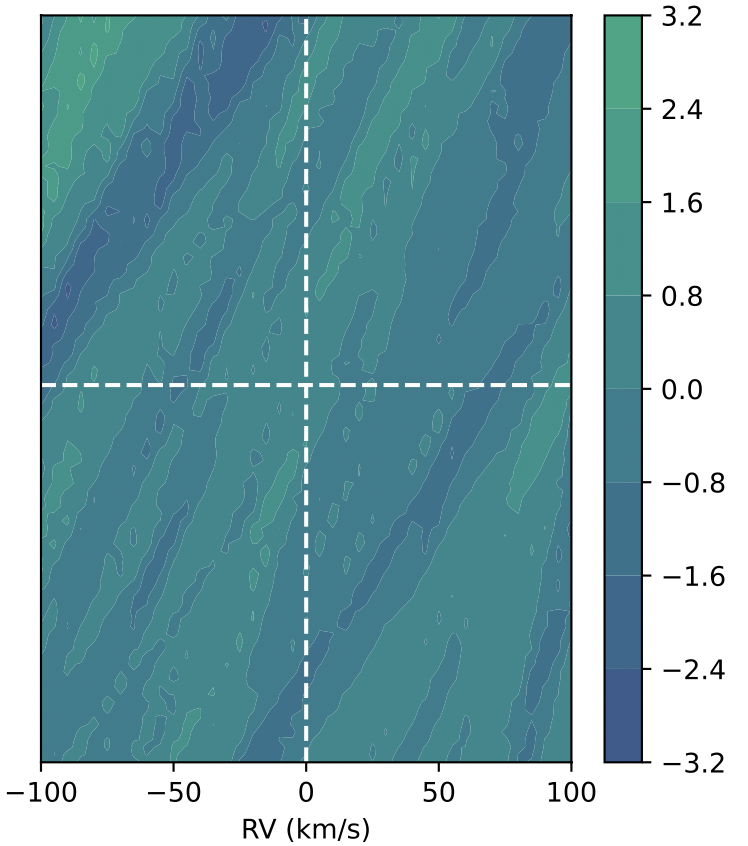
Hypersonic Plasma Characterization
AI/MLSWIRRemote sensing
I applied a transfer-learning CNN to short-wave infrared imagery of a rocket launch to recover
flight state — altitude, Mach number, and slant range — from spectral and spatial plume features.
The study compares physics-motivated features against learned convolutional representations and uses
distance-invariant tests to disentangle genuine plume physics from trivial brightness scaling;
results are promising for this initial case, however, generalization across vehicles, atmospheric
conditions, and viewing geometries remains to be demonstrated, and I leave a multi-launch validation
to future work.
Space Weather Monitoring
Hardware tradesOnboard AI/MLSpace weather
Mission-concept work, funded under a NASA SBIR, for a compact low-power smallsat platform performing
onboard space weather alerting. My contributions span analytic sensor and detector trade studies
across the proposed instrument suite, and onboard AI/ML pipelines for coronal mass ejection
detection, solar flare detection and localization, and short-horizon space weather forecasting.
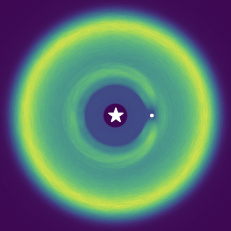
Aerosol Plume Retrieval
RetrievalRadiative transferOperational deployment
I developed a modular Python pipeline that ingests geostationary satellite imagery alongside
numerical weather fields to retrieve the height, mass, and particle-size distribution of ash and
aerosol plumes, and then propagates the resulting source term through an atmospheric dispersion
model to project downwind transport and ground deposition. The retrieval is optimal-estimation
against a radiative-transfer-derived radiance lookup table; the architecture is modular by design
so that individual stages may be swapped, re-trained, or run in isolation during operational
deployment.